3D Modeling
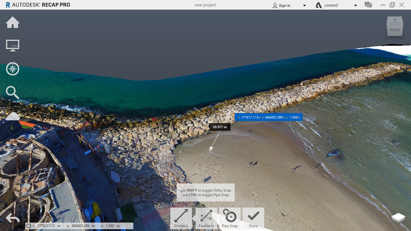
3D modeling allows for advanced planning and engineering capabilities, based on a cloud of points generated with smart photo processing using state-of-the-art software.
Object photography is done in vertical and diagonal angles. Photos are then processed with laser precision and are submitted as a measurable 3D file.
The models have multiple and varied uses: from planning infrastructures, documenting structures and geological surveys to military uses.
Trig Spatial Information specializes in creating 3D models and provides its clients with planning solutions.