Surveys
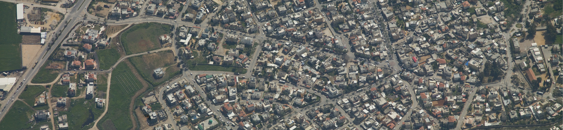
Available, reliable and accurate geographic knowledge is the core of any engineering planning work, and also of proper and ongoing management for the authorities.
Information mining and processing is done by professionals using advanced technological means in order to provide a clear and updated overview of the tested objects.
Trig Spatial Information provides a wide selection of surveys for various uses:
Garden surveys – a survey done based on aerial photos, combining supplemental land photos, meant to estimate various types of greenery in open public areas. This estimate is used by the municipality/council to report to the water authorities about the required water amounts.
Traffic sign surveys – a survey done by field surveyors using technological tools and meant to identify every posted traffic sign and its location. This survey is used by the authorities to approve the legality of traffic signs placed at the municipality/council, thereby preventing daily legal reservations concerning the traffic sign.
Tree surveys – a land-based survey of trees in a predefined area. Such surveys have multiple uses: from CBP demands and detailed planning to municipal water allocations. The survey is overseen by an expert agronomist.
Trig Spatial Information has experience with diverse and non-standard surveys:
- Supporting walls survey, used by the city engineer.
- Bridge survey, for monitoring bridge maintenance. The survey is done using a quadcopter.