Geographic Information Systems (G.I.S)
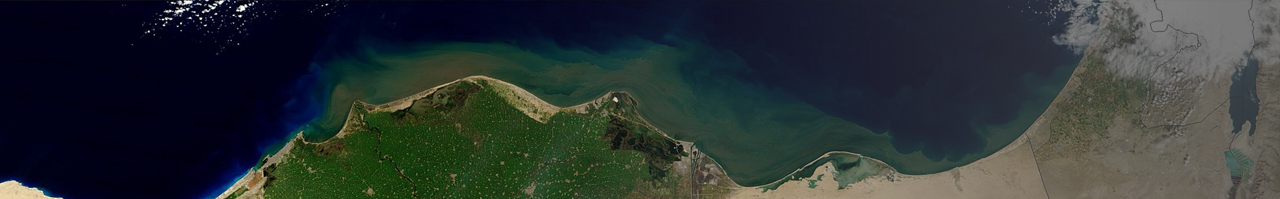
The establishment and organization of vector and Raster databases for our clients, also supported by geographic information systems, are put into action after Trig has understood and characterized the client’s needs based on both existing organizational materials and new material collected using a variety of methods: satellite imagery, aerial photography, photogrammetry, area surveys, bathymetry, and various sensors.